
What is the name and location of the wildfire?
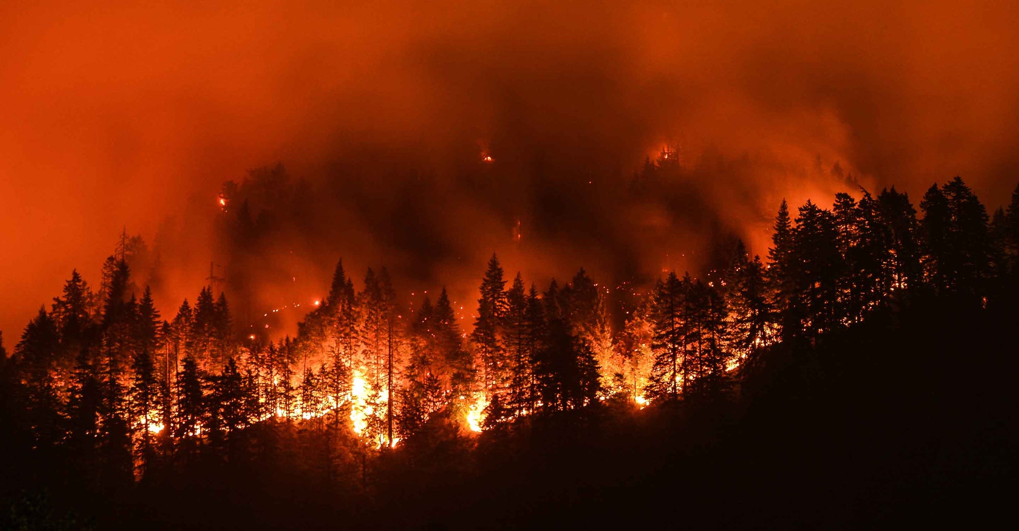
On March 21, 2024, the Page County wildfire is burning near the Shenandoah National Park area in Page County, Virginia (1).
In addition, there are dozens of small fires affecting Mid-Atlantic U.S. states, ranging from Maryland to North Carolina. Most of these small fires are located in West Virginia and Virginia (2).
Which cities or areas are affected by the wildfire?
Cities and areas most directly impacted by the wildfire include Luray and Page County in Virginia.
Air quality stations recorded poor air quality in several Virginia cities, including:
The wildfire has led to the closure of Skyline Drive from Thornton Gap to Mathews Arm, affecting travel in the Shenandoah National Park area.
What is the current containment status of the wildfire?
The Page County wildfire has burned approximately 450 acres. Containment efforts are underway.
Are there any evacuation orders or alerts in place?
Evacuation orders have been issued for several communities in Page County due to hazardous conditions. Page County Public Schools are closed, with Luray High School serving as an evacuation shelter for the American Red Cross.
Additionally, Shenandoah National Park has implemented a complete fire ban, prohibiting open fires within the park boundaries (3).
There is an elevated fire danger notice from the National Weather Service in effect for Baltimore and Washington D.C. through 8 PM Thursday. The alert applies to areas of Maryland, Virginia, and eastern West Virginia.
Protect yourself from wildfire smoke
See how a wildfire smoke air purifier can help clean your air.
How can I protect myself from wildfire smoke?
Always plan ahead to protect yourself from wildfire smoke.
- Get a free air quality app for real-time air quality alerts and forecasts.
- Shut doors and windows and set the HVAC to recirculate mode.
- Run a high-performance air purifier to filter wildfire smoke.
- Contribute to your community’s outdoor air quality data.
- Stay indoors; if you do need to go outdoors, wear a KN95/FFP2 mask.
The number one air cleaning solution for your home.
Lorem ipsum Donec ipsum consectetur metus a conubia velit lacinia viverra consectetur vehicula Donec tincidunt lorem.
TALK TO AN EXPERTArticle Resources
Article Resources